


Related Products
This goes well with...
Features
- A2 format suitable for small chart tables
- Compatible with Yeoman plotters
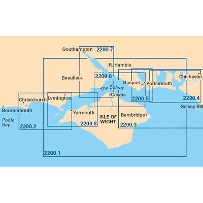
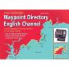
Nautical for Isle Of Wight And Solent Plans including Yarmouth Harbour
This goes well with...
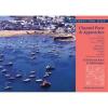
A new double sided sheet of plans including:
Bembridge Harbour, Approaches Newtown River, Cowes, River Medina, Wootton Creek, Ryde, Beaulieu River, Keyhaven
Please note this chart is only available flat not folded
| item |
|
||||||||
| identity |
|
||||||||
| sale |
|
||||||||
| facility |
|
||||||||
| marketing |
|
||||||||
| information |
|
||||||||
| information publish |
|
||||||||
| cartography |
|
||||||||
| location geographic |
|
© 2022 Pristine | About Us | Contact Us | Terms