


Related Products
This goes well with...
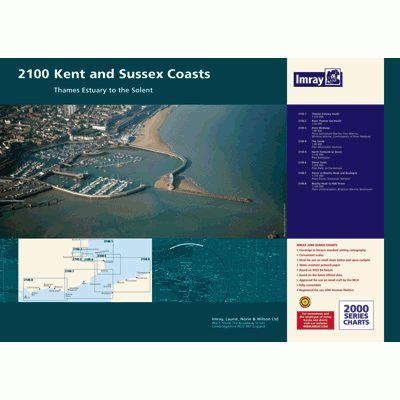
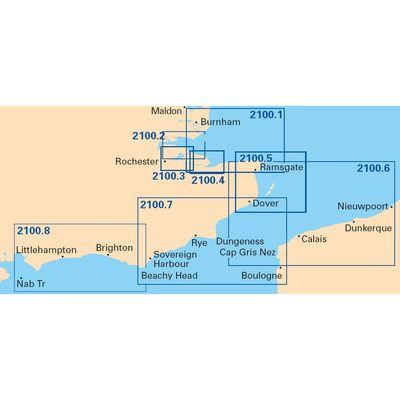
Features
- A2 format suitable for small chart tables
- Compatible with Yeoman plotters
- In a plastic wallet
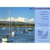
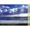
One convenient package of charts containing 8 charts for area from Thames Estuary to Solent
This goes well with...
| item |
|
||||||||
| identity |
|
||||||||
| sale |
|
||||||||
| facility |
|
||||||||
| marketing |
|
||||||||
| information |
|
||||||||
| information publish |
|
||||||||
| cartography |
|
||||||||
| location geographic |
|
© 2022 Pristine | About Us | Contact Us | Terms